


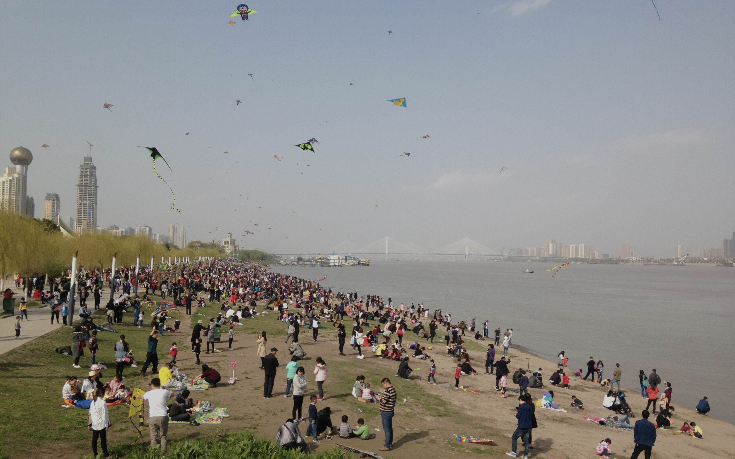

Georgina André, a researcher and urban planner at the agency, tells us about her geography thesis by decoding an image of Wuhan every 15 days.
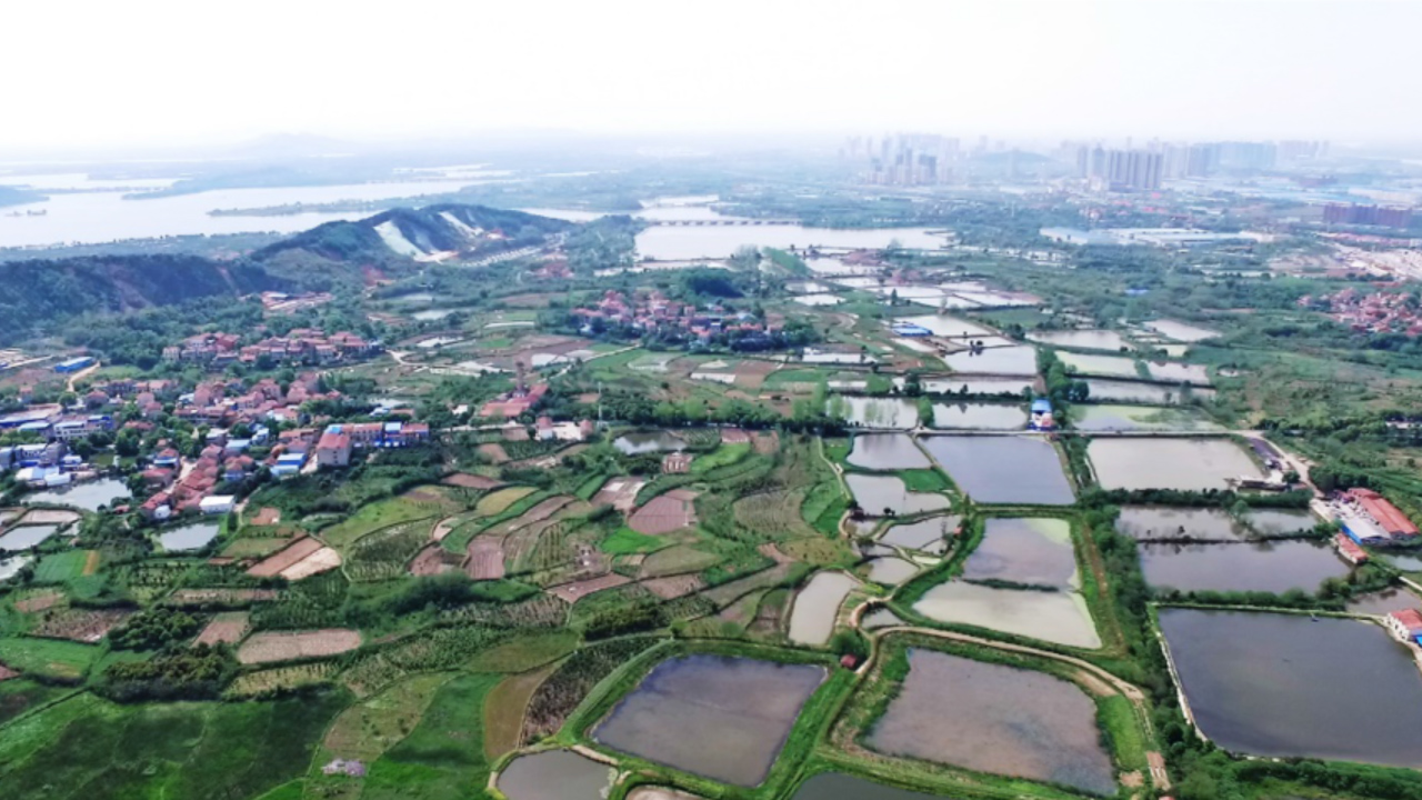
“Whilst the first photograph I chose showed the transformation of Wuhan’s dense city centre, this photograph of the peripheries reveals the geographical base of the Wuhan municipality. Wuhan’s vast municipal territory includes not only urban centres, but also cultivated spaces, villages, lakes and rivers, as seen in this photograph.
The density of the river system in Wuhan makes it a kind of inland delta of the Yangtze River and has earned Wuhan the name of “the City of a Thousand Lakes”. Although the presence of navigable rivers initially enabled the development of the commercial settlements that founded the city at the mouth of the Han River and the Yangtze River, this river system quickly became an obstacle to the policies of urbanisation and unification of the municipal territory, resulting in its profound reshaping by industrial projects and urbanisation in the second half of the twentieth century. For example, the surface area of water in Hankou (on the left bank of the Yangtze River) decreased by 42% in the 1980s and 1990s.
Today, projects such as the French-Chinese eco-city demonstrate that the issues involving urbanisation and the ecological context must be articulated differently, and regular catastrophic floods remind the municipality of the importance of including risk management and resource preservation in the metropolitan development of the municipality.
To learn more about Georgina André’s thesis, please see the news item: Wuhan, a geographer’s perspective